Ladoga is the largest lake in Europe, it covers an area of 17,600 sq km. The lake is the source of drinking water for the second largest city of Russia - Saint-Petersburg.
The lake is slightly elongated, its maximum length is more than 200 km, width - 130 km; its greatest depth is 260 m.
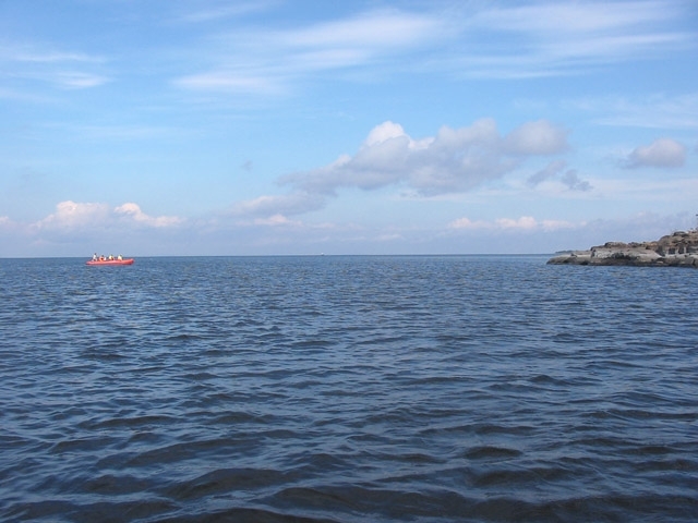
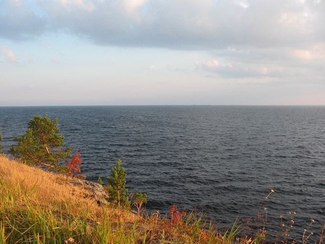
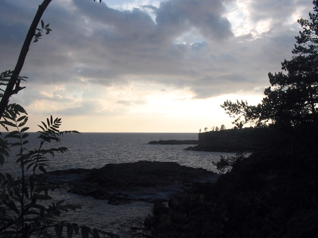
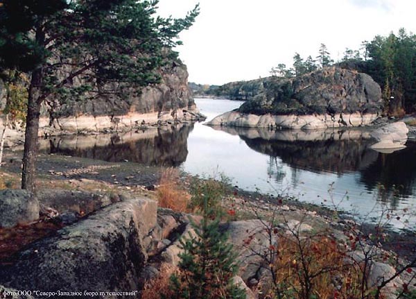
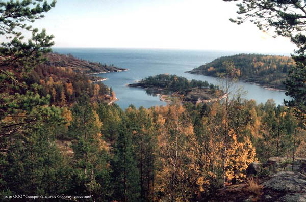
By nature there is no monotony on Ladoga lakeside. The necklace of islands, parted by a maze of channels (skerries), is stretched near the northern shore. Some of them bristled up with granite rocks, which are sheer going downward in cold depthes of waters. Others place their stone backs under waves. Small islands covered with trees show green in the depth of bays. The western shore meets us with a placer of gravel boulders. Stony chines, here called "fences", juts out into the lake. Sandbanks and dunes, covered with redbody pines, open up before traveller’s eyes near the eastern shore.
Valaam archipelago with an ancient Valaam monastery is a constituent part of Ladoga skerries. In their time the monks were sent by Russian Orthodox Church to extend Christianity among the peoples of faraway Russian Alaska. Now Valaam is one of the most popular centers of international tourism.
 |
 |
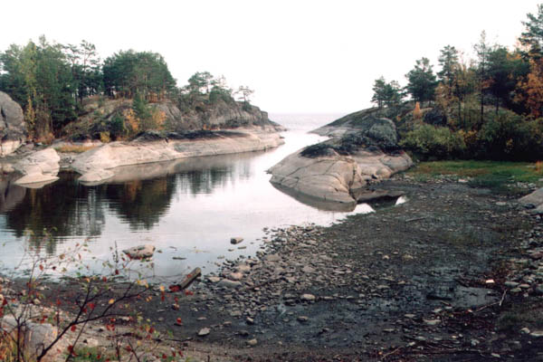 |
Nature worked millions of years on the artistic framing of Lake Ladoga. Its northern part lies on the Baltic crystalline shield, the formation of which dates from the most ancient eras of the Earth history. The mining rocks composing the shield, are presented mostly by granites, gneisses, and crystalline shales of a so-called Archaean age. These rocks come out on original ground and are here and there covered by a thin layer of precipitations of more late time.
Thirty two rivers drift water to Ladoga. They are full-flowing Svir, which is fraight with a huge reserve of energy, small, lost among forests and meadows rivers of the northern shore, rectilinear Volkhov, and Vuoksa, which is running through a great number of lakes. There are short rivers, whose sources lie 20 - 40 kilometers away from Ladoga. Others are stretched on a few hundred kilometers, and their waters overpass a long way before joining the lake.
No matter that the rivers of Ladoga basin differ from each other by size, all together they serve as the main power source of the lake. Annually rivers bring here about 68 cubical kilometers of water. During abounding in water years this figure can increase up to 100. 15 percent falls to the share of rain and snow, participating in rewatering the lake, and only 2 percent of general inflow - to the share of subterranean waters.
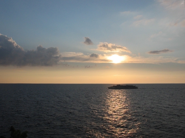
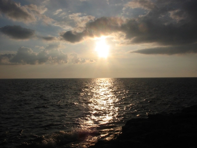
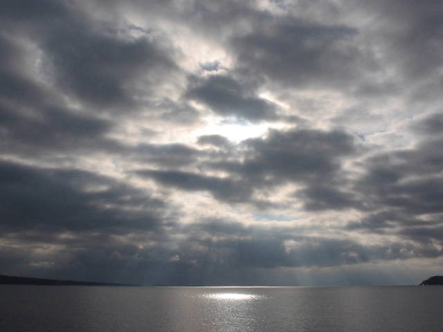
Lake Ladoga can literally be called a pantry of solar energy. The solar energy, penetrating into the water, sets water masses of the lake in motion. Even in short periods of calm, when the surface of Ladoga is mirror-like, there is both horizontal and vertical shift of water masses at a depth. This phenomenon contributes to redistribution of heat in Ladoga and to gradual heating of more deep layers. Accumulation of solar heat and its distribution in water within day and night, season and year determines temperature condition of the lake. Ladoga has its own spring, summer, autumn and winter.
Water-supply of Ladoga is 908 cubical kilometers. This quantity is not a constant - in some periods it grows, in others - drops. Indeed, such fluctuations did not exceed 6 percent relatively to the total mass of water in the lake over the last 100 years.
From the earliest times sailing the lake was very risky. Thousands of vessels perished in its waters. It came to the fact that any insurance company of Russia did not insure vessels going with freight on Ladoga. That was conditioned by either poor equipment of vessels and natural features of Ladoga. " The Lake is roughly and full of rocks ", - wrote a famous explorerA.P.Andreev.
The reason of Ladoga’s severe character can be explained by the peculiarities of its basin construction and outlines of the lake. The sharp fracture in the structure of the bottom at its transition from large depth of the northern part to small depths of the southern part hampers the formation of a "correct" wave. Such a wave can arise only in the northern part. When winds whip it up to the south, it keeps its shape only above large depthes. It ruins as soon as it gets to the area with depthes of 15 - 20 meters. Here it becomes high, but short. Its crest tilts. A complex system of waves flowing in different directions, a so-called "choppy sea", appears. It is especially dangerous for small vessels, which experience strong unexpected jerks.
Another peculiarity of choppy lake was found. During strong gale there is an alternation of waves: a group of 4 - 5 high and lengthy surges is replaced by a group of low and short ones. Such choppiness causes a rolling, which has negative consequencies for the body of a vessel.
The analysis of choppy lake is connected with large difficulties. The highest surge ever fized on Ladoga was 5.8 meters high. Under the theoretical considerations, the wave height during strong gale can be even more.
Southern inlets are considered to be rather quiet areas of Ladoga. Waves of 2.5 meters happen here only because of a strong wind.
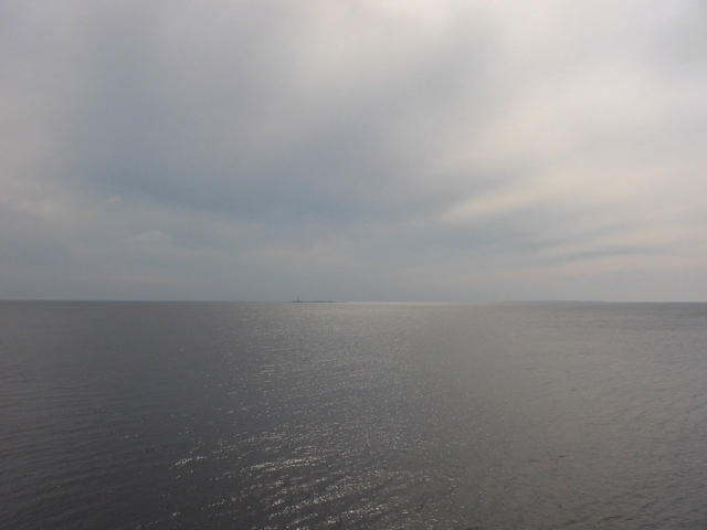
July is the quitest month on Ladoga. At this time the lake is mostly calm.
There are 50 species of fishes in the lake . The most valuable ones are - salmon, white-fish, zander and umber. Perch and pike reach its maximum size here.
One of the most interesting tourist objects of the lake is Ladoga’s seal, which is entered in The Red Book of The Russian Federation.