There are more than 61 thousand lakes in Karelia. By their quantity on the territory of 1,000 sq.m., Karelia takes the first place not only among the regions of Russia, but also in the whole world.
Both rivers and lakes of Karelia belong to the basin of the White and Baltic Seas. The height of the water divide, which goes from the northern part of the West-Karelian eminence to the southern part of the Segozero Lake between the Onego and Vygozero lakes and further to the south-east aside Pudozhskiy region, is 150-200 meters.
The majority of lakes are located in the northern Karelia, in the White Sea basin. The minority of them is in the southwest regions of the republic and further in the east part of the Onego lake.
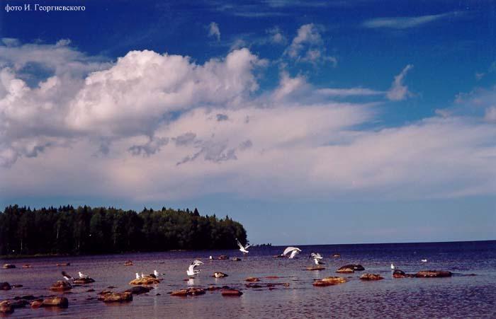
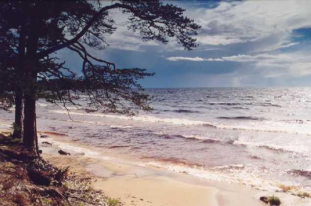
The size of the Karelian lakes is very different: it varies from small "forest lakes" to the largest lakes in Europe such as Ladoga and Onego. Lakes with the water surface of about 1 sq.km. dominate in Karelia, but there are also many big lakes. The total area covered with lakes is 11,4% which is much more than in Finland and Murmansk region.
 |
 |
 |
The Karelian lakes are usually small lakes, the area of which is less than 1 sq.kms.. There are more than 40,000 of such reservoirs in Karelia, or 97,5% of their total quantity. In fact the number of small lakes is much bigger, because only lakes with area more than 0,1 sq.kms.(10 hectares) are taken into account. The total water surface of the lakes over 1 sq.km. is 28,9 thousands sq.kms.. The lakes from 0,1 to 1 sq.km. occupy approximately 10,000 sq.kms.. Thus the total water surface of all the lakes that are taken into account runs up to rounded 40,000 sq.kms. or 4 millions of hectares, and more than 50% are the areas of 36 large lakes – over 50 sq.kms. – and about 20% lakes over 1, but less 50 sq.kms.
All large, average and the majority of small lakes (over 1 sq.km.) are running lakes and sewages. The flowing of Karelian lakes is very favourable factor for fish and other aquatic creatures. The life in such lakes is wealthier, and the variety of fish is bigger. It’s unlikely for them to have kills, which are usual for desolated lakes in winter as a result of an oxygen lack. About 31,000 of small lakes, forest reservoirs are either fishless, or they just have very little perches, roaches, and eel-pots. Flowing lakes that are connected with rivers form a complex system with natural drainage regulation.
The amount of non-flowing lakes in Karelia is also significant: out of 40,000 lakes with areas less than 1 sq.km. about 31,000 lakes are internal-drainage. These are mainly small forest lakes, located in the wood country, often surrounded with swamps and populated with little perches, roaches, eel-pots, and sometimes even fishless. These lakes in their contemporary conditions don’t have a fishing industry value; all the more they are situated in out-of-the-way places.
The total area of drainless lakes is comparatively not too large. So according to the Olonetskiy province ("Natural and economic conditions for fishing province of Olonetskiy province", 1915), out of 2733 taken into account lakes 870 are non-flowing ones, or 23%, but their total area is only 4,8% of the whole lakes.
Tectonic movements of the earth’s crust formed many lakes, but the majority of them were created by plowed and accumulated effect of glaciers. The first ones, more deep, usually have an elongated shape, high rocky, often with steep shores and little quantity of islands. The configuration of ice originated lakes is much more different – they distinguish from the others by the abundance of islands, bays, channels and relatively have small depth.
 |
 |
 |
The lakes, jointed together by rivers, form relatively developed river-latchstring systems. Such lakes are natural storage ponds and have influence on rivers’ level regime, creating natural drainage regulation. Even though the Karelian river system is well developed, there is just a few large and full rivers, their beds aren’t developed. Along the western coast of the White Sea the fullest river is Kemi. Among the rivers, flowing into the Onego Lake, relatively full are Suna, Shuya, Vodla. Small rivers fall into the northern part of Ladoga within the republic border.
Significant changes in the nature of Karelian lakes cause civil engineering works for different industrial purposes. That’s why the water levels of the Vygozero, Sandal, Segozero, Ondozero and other lakes have raised.
Most of the lakes, especially large and average, are characterized by well-developed shore line and big partition. Some lakes such as Keret’ozero, Vygozero, Topozero, Pyaozero are notable for it. Keret’ozero is so much divided, that the countryside gives names to some of its stretches as independent reservoirs. In some lakes separated parts so differ from each other in living conditions, that in isolated stretches and bays it leads to formation of small local shoals of trade fish such as whitefish, perches and others.
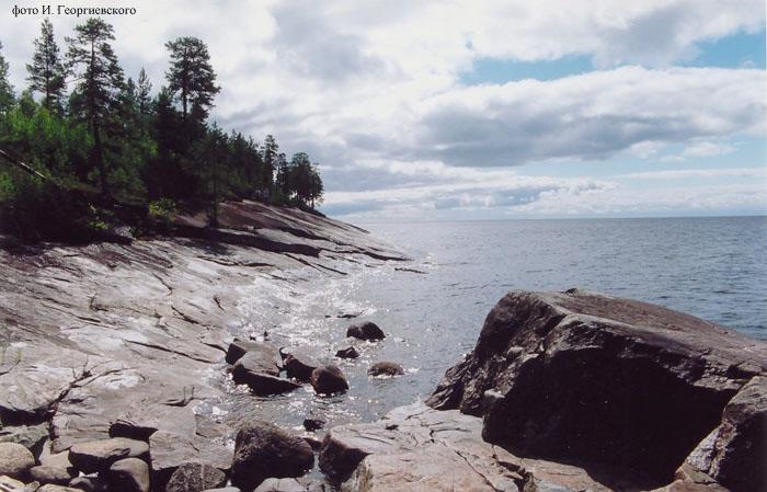
Many lakes have hundreds of islands: more than 500 of them are on the Vygozero Lake, about 350 on Tishkezero, up to 200 on Vodlozero, the Keret’ozero Lake has more than 140, and about 100 of islands are located on the Konchezero Lake. Shores are usually low, stony-boulder, and sandy. But it’s also possible to see rocky and steep banks. Here and there the height of shore rocks runs up to several tens of meters. For there are so many swampy massifs in Karelia, boggy and marshy banks are likely to be seen on many large, average and especially small lakes. There are some lakes that gradually become covered with the entire verdure carpets. But mainly they are small and waterlogged reservoirs.
Relief of the lakes’ bottoms usually repeats the relief of an ambient space, which is often characterized by the presence of ranges, alternating with lowerings. That’s why bottoms’ profile of many lakes is noted for rugged terrain and complexity.
The depths of Karelian lakes are various. The deepest lakes are the lakes with hollows of tectonic origin. Ladoga (the deepest height 230 m.), the Onego Lake (120 m.), Segozero (97 m.), Topozero (56 m.), Yanisyarvi (57 m.) belong to them. However, for some large lakes it is typical to have low depths. For instance, Keret’ozero (245 sq.km.) has the deepest spot of 26 m., Syamozero (266 sq.km.) – 24,5 m., Vygozero (1159 sq.km.) – 18 m., Vodlozero (334 sq.km.) – 16,3 m. These relatively shallow lakes differ from the similar ones that have the same area of water surface by variety of fish. For example, such fish as roaches and breams (warmish carp fish) are very widespread in there.
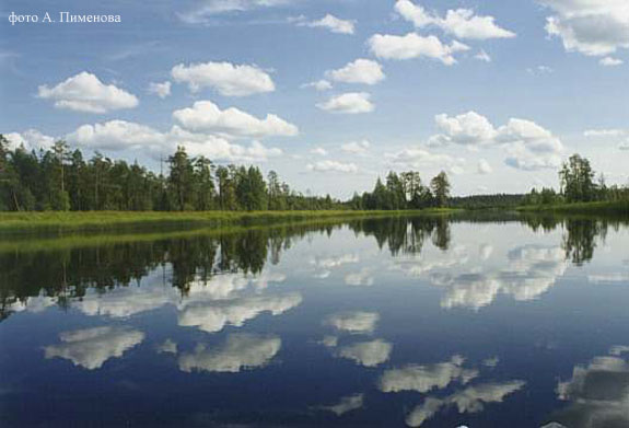
The waters of Karelian lakes is very diverse, both in color and in brightnees. In summer, in July and August water brightnees of different lakes varies from 0,4 to 9 meters. The least clear lakes are the lakes, the water of which is colored with a swampy humus (decay products of vegetable substances) into dark yellow and brown colors. The forest little lakes represent the majority of them, but they are also presented by comparatively large lakes with dark water. For instance, Salonyarvi, Suoyarvi, Vedlozero and other. But there is quite a lot of reservoirs with very clear water of greenish and bluish tints in Karelia. Such lakes more or less are free from stagnant waters. According to the reference book, the clearest lake is Urozero (up to 9 meters). The water of Ladmozero and Chuzhmozero also has a high brightnees.
Temperature regulation of Karelian lakes is formed by existing climate peculiarities of the region. The Karelian climate is characterized by comparatively short, cool summer and rather significant nebulosity during the whole year. The northern and southern parts of the republic differ by climate features. Summer in the northern Karelia lasts for about 2, in the south – 2,5 months. In the north of Karelia days with average air temperature below 0 begin earlier for a month, than in the southern part.
Lakes in the north become frozen approximately for a half of a month earlier and free of ice 2-3 weeks later, than in the south. The coldest month is February. The feature of deep lakes in Karelia is their low water temperatures in pre-bottom layers during a year. It’s peculiar not only for Ladoga and Onego, but also for small reservoirs with depths of 20-25 meters, and sometimes even for shallower lakes, if they are not liable to wind influence that mixes waters.
